Health & Fitness
Arctic chill continues through next week
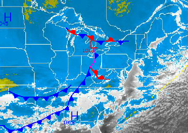
The Arctic regime will continue into next week with a few threats for light snow through the period. Temperatures will continue to average well below normal for the Philadelphia and New York City metropolitan areas with biting wind chills.
Today through tomorrow, a series of disturbances will move through the Philadelphia and New York City metropolitan areas with the threat for a few snow showers and flurries. Otherwise, clear skies to scattered cloud cover can be expected through the period with biting cold continuing. Temperatures will range from the mid 10's to lower 20's for highs and single digits below zero to single digits above zero for lows. Winds will be from the northwest at 5 to 15 mph leading to wind chills in the teens below zero.
On Saturday, a strong Arctic cold front will move through the region with scattered snow showers and a few snow squalls. Snowfall accumulations of one inch to an isolated three inches will be possible with some of these snow squalls. High pressure will return for Saturday night into Sunday with clear skies. Temperatures on Saturday will range from the lower to mid 10's for lows and upper 20's to lower 30's for highs. On Sunday, temperatures will range from the lower to mid 10's for lows and upper 10's to lower 20's for highs.
Find out what's happening in Freeholdwith free, real-time updates from Patch.
Another area of low pressure will move through the region on Monday with the track expected to be north of the region. Scattered snow showers will be a threat with the passage of this low pressure system and cold front. Temperatures will range from the upper 10's to lower 20's for lows and lower to mid 30's for highs.
Arctic high pressure will take hold on Tuesday with clear skies and brutally cold temperatures. An area of low pressure will follow on Wednesday with periods of snow expected with minor to moderate accumulations. Temperatures will range from the single digits to mid 10's for lows and upper 10's to lower 20's for highs.


