Health & Fitness
Rainy day marks return to cold weather pattern
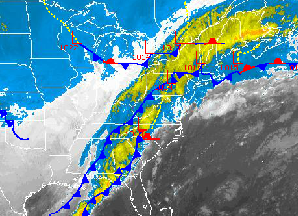
Weather can pull some very cruel jokes on people. A prime example is this weekend with temperatures in the 60's and 70's. Record highs were broken throughout the Philadelphia and New York City metropolitan areas with weather more for early June than late December. Well the fantasy is coming to a crashing halt today with periods of rain and rapidly falling temperatures tonight. Oh, and almost forgot about the chance for snow showers tomorrow evening! This is why I love meteorology!
Today, a cold front will slowly move through the region today with periods of rain, heavy at times. Rainfall amounts will range from 0.25" to 0.50" over the interior and 0.50" to 1.50" along the coast as the cold front crosses the region. Winds will veer to the northwest at 10 to 20 mph. Temperatures will slowly fall through the day through the 50's and into the 40's by this evening.
Tonight, as the cold front exits, scattered showers will transition to widely scattered snow showers. Winds will be from the northwest at 10 to 20 mph. Temperatures will fall into the mid to upper 20's over the interior and lower 30's along the coast.
Find out what's happening in Freeholdwith free, real-time updates from Patch.
Tomorrow, a secondary cold front will follow with scattered snow showers a threat through tomorrow evening. Winds will veer to the north-northwest and north at 10 to 20 mph. Temperatures will rise into the mid to upper 30's over the interior and lower to mid 40's along the coast.
On Wednesday, scattered clouds can be expected with high pressure in full control. Winds will be light and variable. Temperatures will average well below normal. Low temperatures will range from the mid to upper 10's over the interior and lower to mid 20's along the coast. High temperatures will range from the mid to upper 20's over the interior and upper 20's to lower 30's along the coast.
Find out what's happening in Freeholdwith free, real-time updates from Patch.
A series of disturbances will rotate through the region Thursday on through Sunday with a threat for isolated to widely scattered snow showers. Temperatures will average near normal through the period. Low temperatures will range from the upper 10's to lower 20's over the interior and mid to upper 20's along the coast. High temperatures will range from the upper 30's to lower 40's over the interior and lower to mid 40's along the coast.


