Health & Fitness
Return to near normal conditions on the way
A nice break from the active winter weather is on the way, just in time for the big Super Bowl weekend in New Jersey and New York City! Temperatures will moderate back to near normal levels by this weekend allowing the region to finally break out of the deep freeze.
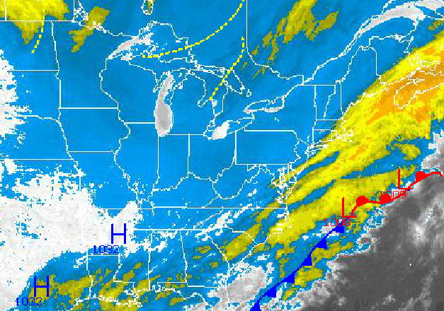
The winter storm that produced as much as seven inches of snow in Atlantic City, New Jersey is now exiting into the Atlantic and high pressure is taking hold for today. Clouds will continue to break up and clear conditions will take hold by this evening. Winds will be from the northwest at 5 to 15 mph. Temperatures will rise into the mid 20's for highs, which is around 15 degrees below normal for this time of year.
High pressure will be in control tonight on through Saturday with scattered cloud cover and moderating temperatures back to normal. Winds will be from the west and southwest at 5 to 15 mph. Temperatures on Thursday will range from the single digits to lower 10's for lows and lower to mid 20's for highs. On Friday and Saturday, temperatures will range from the mid to upper 20's for lows and upper 30's to mid 40's for highs.
Find out what's happening in Freeholdwith free, real-time updates from Patch.
A cold front will move through the region on Sunday with scattered rain and snow showers through the afternoon. The cold front will exit by the evening with clearing skies and falling temperatures. Temperatures on Sunday will range from the upper 20's to lower 30's for lows and lower to mid 40's for highs. Temperatures in the evening will fall through the 30's and 20's.
A wave of low pressure will follow on Monday with periods of snow expected in the late afternoon. Minor to moderate snowfall accumulations can be expected as a result. Temperatures will range from the mid to upper 20's for lows and lower to mid 30's for highs.
Find out what's happening in Freeholdwith free, real-time updates from Patch.
High pressure will briefly nose into the region on Tuesday with variable cloud cover and dry conditions. Temperatures will range from the lower to mid 20's for lows and upper 30's to lower 40's for highs.
A major winter storm is expected to approach the region Tuesday night through Wednesday with significant snow, sleet, and rain developing. The snowfall has the potential to be significant.


