Health & Fitness
Tranquil conditions to end the week
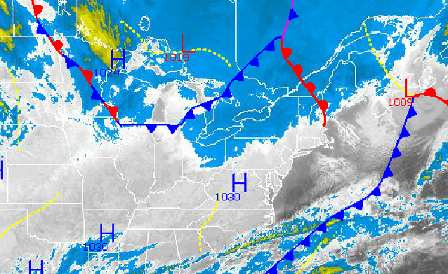
Excellent weather conditions are expected today and tomorrow with high pressure in complete control. However, a major rain storm is expected to end the weekend with rainfall amounts over an inch possible along the immediate coast. Then the Arctic air invades with temperatures well below normal to end 2013 and start 2014.
High pressure will shift off the coast by tomorrow afternoon with scattered cloud cover and moderating temperatures. Winds will back from the west to southwest at 10 to 20 mph. Temperatures will rise into the upper 30's to lower 40's over the interior and lower to mid 40's along the coast for highs this afternoon. Low temperatures tomorrow morning will range from the mid 20's over the interior and upper 20's to lower 30's along the coast. High temperatures tomorrow afternoon will range from the mid to upper 40's throughout the entire Philadelphia and New York City metropolitan areas including the interior.
An area of low pressure will approach from the Gulf of Mexico on Sunday with increasing clouds through the day followed by periods of heavy rain Sunday night into Monday morning. Rainfall amounts will range from up to a half an inch of rain along and west of the Delaware River and up to an inch and a half of rain to the east of the Delaware River, especially along the immediate coast. Low temperatures on Sunday will range from the lower to mid 30's. High temperatures will range from the lower to mid 40's throughout all of the northern Mid Atlantic on Sunday evening. Temperatures will fall through the 40's and 30's on Monday as cold air invades. The rain may end as snow with little to no accumulation expected. Localized flash flooding will be a threat for the region, especially over the eastern half of New Jersey, southeastern New York, and Connecticut.
Find out what's happening in Freeholdwith free, real-time updates from Patch.
Arctic high pressure will take hold on Tuesday with scattered cloud cover. An Alberta Clipper will move through the region on Wednesday night into Thursday with scattered snow showers. Temperatures on Tuesday will range from the upper 10's to mid 20's for lows and lower to mid 30's for highs. On Wednesday and Thursday, temperatures will range from the mid 10's to lower 20's for lows and upper 20's to mid 30's for highs.


