Health & Fitness
While heat wave broils, tropical trouble is brewing
A major heat wave is on the way, but this heat wave will bring the threat for tropical storms and hurricanes as well. I explain why!
As I'm sure everyone knows, a major heat wave has invaded Monmouth County with temperatures rising into the upper 90's to lower 100's over much of central and western Monmouth County and upper 80's to mid 90's over eastern Monmouth County with help from a sea breeze. These hot conditions are being driven by an upper level pattern when a strong ridge dominates much of the Eastern United States.
However, the same upper level pattern that is supporting this heat wave is also setting up the threat for a very active month of August for tropical development in the Atlantic. With a heat ridge being sustained in the Mississippi Valley to the Southeast and another ridge developing over the central and western Atlantic, the upper and mid level pattern is producing a pattern that will lead to an increase threat to tropical storm and hurricane development that would be focused towards the East coast. Let me break this down.
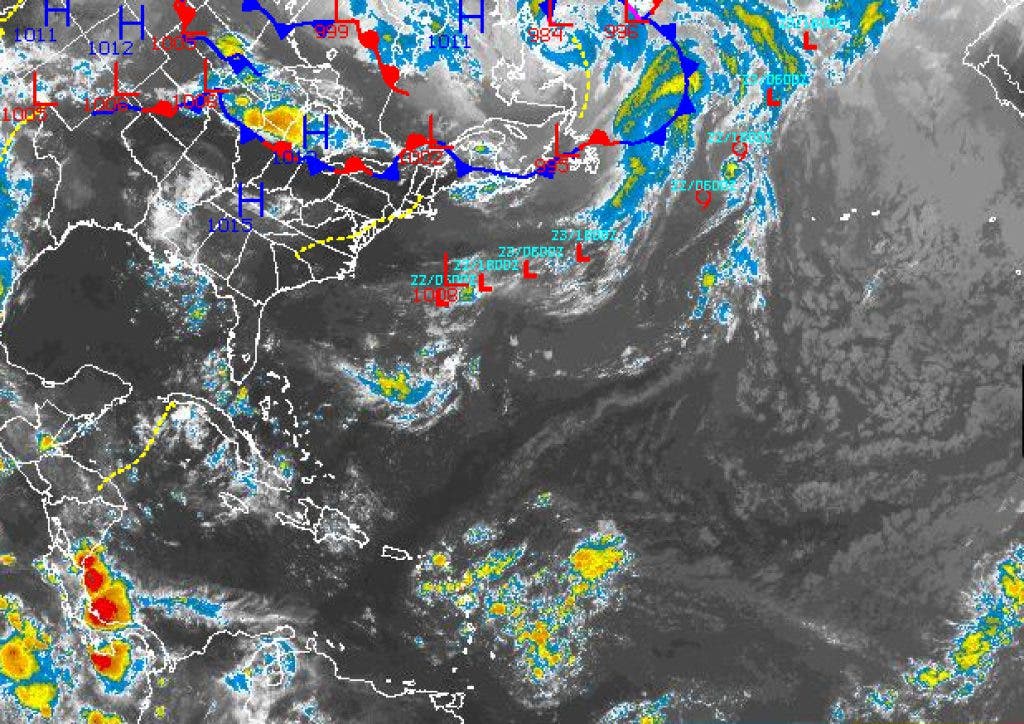
First, the development of the western and central Atlantic upper level ridge reduces wind shear over the Tropical Atlantic. Think of wind shear like a ravor that shaves off the top layer of your hair. If the wind shear is strong, the thunderstorms that lead to tropical storms and hurricanes can't develop completely and the tropical low pressure system weakens and collapses. Right now, the pattern is evolving to negate that inhibiting factor. With the Inter Tropical Convergence Zone, which is an area of low level convergence that produces numerous thunderstorms and disturbances, over the central Atlantic very active, there is clearly an increasing potential for tropical development.
Find out what's happening in Freeholdwith free, real-time updates from Patch.
Now, combine the development and position of the western Atlantic Ridge with the heat ridge over the Plains and you end up with a troubling development. Between these two ridges, a weakness must develop to balance out the two ridges. This weakness is basically a very weak trough of low pressure. However, in this case this weakness is like a high way for tropical storms and hurricanes to move along. That high way is setting up from Bermuda to the East coast, which means that tropical low systems are more likely to move towards the East coast over the next one to two months.
Now, this is not to say that I expect a hurricane to hit New Jersey because there is no way I can scientifically make that claim. However, I am saying that there will be a high probability for tropical storms and hurricanes to move within the Eastern United States coast and have some influences on New Jersey. At the very least, the train of tropical storms and hurricanes I'm expecting will significantly enhance wave heights along the New Jersey coast which will excite surfers but also increase errosion of the coast line.
Find out what's happening in Freeholdwith free, real-time updates from Patch.
So first comes the heat and then the threat for tropical storms and hurricanes. I don't expect this pattern to break down until mid September, so don't be surprised if New Jersey has to deal with another heat wave after this one.


